How Volcanic Islands Form and Change
Volcanic islands can grow from submarine eruptions in different tectonic settings. Explore hotspots, island arcs and the competing processes that reshape land after it emerges.
A volcanic island looks like a piece of land surrounded by water, but its visible outline is only the top of a much larger geological story. Volcanic material can accumulate below sea level before any part emerges. Afterward, growth competes with erosion, collapse and other changes. The island is not a finished object created in one moment. It is a temporary view of processes continuing at different speeds.
The visible island begins above an underwater foundation
A submarine volcano can build upward through repeated eruptions and the accumulation of volcanic material. If the structure reaches above sea level, it becomes an island. The US Geological Survey describes this process in its explanation of volcanic island arcs. What a visitor sees from a boat may therefore be only a small part of the whole volcanic structure.
That difference matters when interpreting scale. A modest-looking landmass can stand on a large underwater foundation. A photograph of the shoreline does not reveal the full volume, shape or history of the volcano beneath it. Maps of the seafloor can add information that an ordinary landscape view cannot provide.
Different tectonic settings can produce islands
Some volcanic islands occur near plate boundaries, while others develop within plates over hotspots. The distinction prevents one familiar example from becoming a universal explanation. Hawai‘i provides a useful hotspot case, but not every volcanic island follows the same pattern or belongs to the same type of chain.
Ask where the island sits relative to tectonic plates. Is it associated with a convergent boundary, a spreading region or an intraplate source? The setting helps organize the explanation. The island's appearance alone is not enough to identify the underlying process, especially once erosion and vegetation have changed its surface.
Hotspots can leave a trail through time
The USGS describes hotspots as relatively persistent sources of volcanism beneath moving plates. As a plate shifts, older volcanic structures can move away while younger activity occurs nearer the source. The Hawaiian chain illustrates an age progression that helped make this model compelling.
Think of the chain as a record involving both a source and motion. The older island did not necessarily stop being interesting when volcanic growth moved elsewhere. Its later changes can reveal another stage of the history. A chain is therefore more informative than one isolated photograph of an erupting vent.
Island arcs belong to a different relationship
At some convergent plate boundaries, subduction is associated with volcanism that can build chains of island volcanoes. The USGS identifies the Marianas and Aleutians among examples of island arcs. These settings connect volcanic construction with the movement and interaction of plates, rather than simply placing a hotspot under every chain.
The general model explains a broad relationship, while individual regions have their own geological details. Avoid using a simple classroom cross-section as a complete account of every island. Such diagrams are designed to reveal the main process, often leaving out complexity so the relationship remains readable.
Emerging land is immediately exposed to change
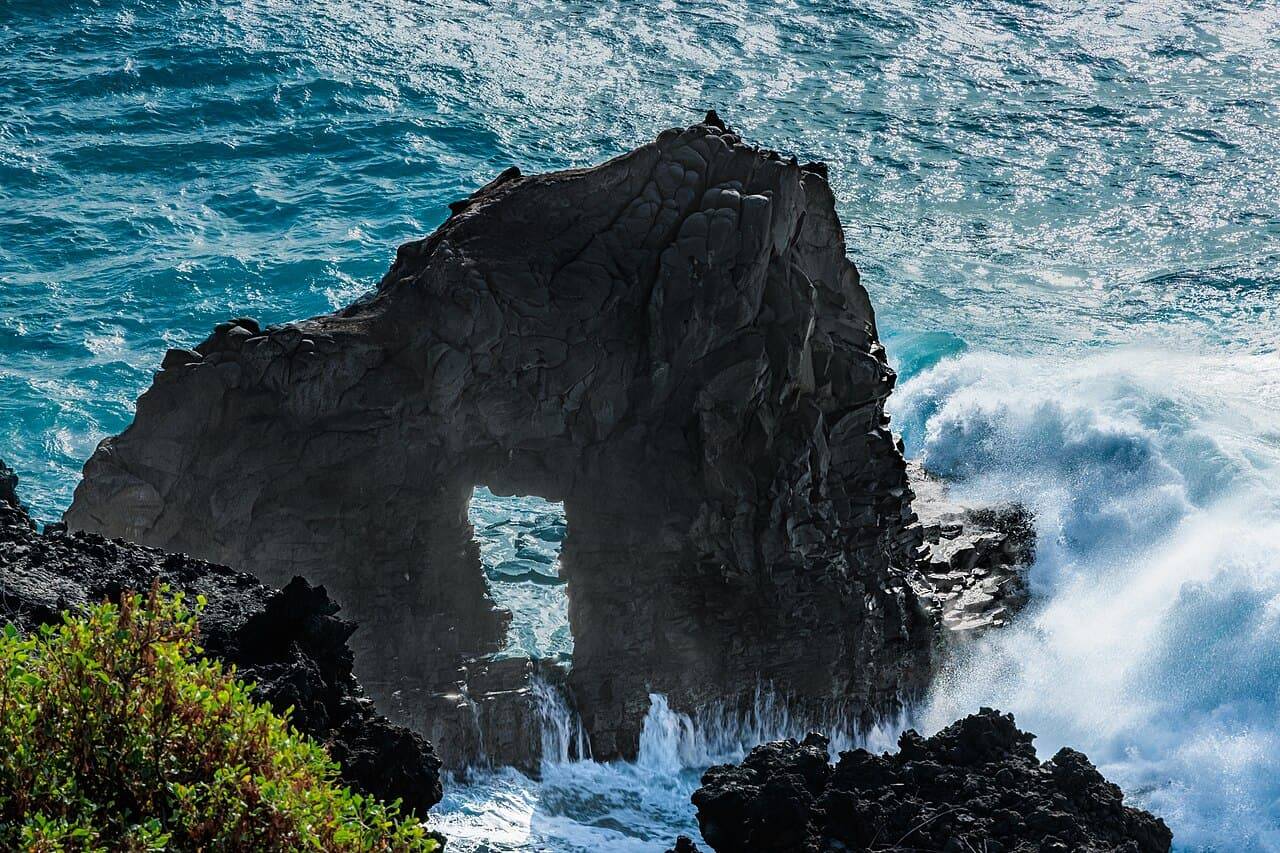
Once volcanic material stands above the water, waves and weather begin shaping the exposed surface. New land can be fragile, and different materials resist erosion differently. A fresh-looking shoreline is therefore not a promise of permanent land. The visible boundary may change substantially after an eruption.
This gives time-lapse comparisons particular value. A series made from consistent viewpoints can show growth and loss more clearly than a single dramatic scene. Check dates and locations before comparing images, since different sides of an island can tell different stories. A changing outline is evidence to interpret, not automatically proof of one specific cause.
Growth and erosion can occur together
An active volcano may add material while other parts of the island lose it. The whole landscape need not be in one uniform stage. That is why the question is the island growing? requires a definition: growing in height, area, volume or some measured part of the structure?
The same care applies to statements about an island disappearing. A loss of visible land and a change in the entire submarine structure are different claims. Geological descriptions become more useful when the measured property and timescale are clear. An outline on a map is only one way of recording change.
Geological interest does not make access safe
Active volcanic areas and newly formed shores require site-specific safety information. Follow current instructions from the responsible authorities, respect closures and avoid approaching fresh land or coastal entry points on the basis of a general explainer. Conditions can change, and a photograph cannot establish a safe route.
For an ordinary visitor, a permitted viewpoint and reliable interpretive information can reveal a great deal. Notice layers, landforms and the relationship between the visible island and the surrounding sea. There is no need to enter a hazardous area to appreciate the scale of the process.
Volcanic islands connect construction below the ocean with change above it. Hotspots and plate boundaries provide different routes to emergence, while erosion and continuing activity keep reshaping the result. The island is best understood as a stage in a long history—a piece of land whose most important foundations may remain out of sight.